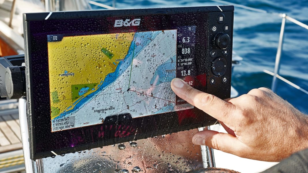
Not every combination of hardware and software is freely selectable
The quality of the information and the user-friendliness of the device are also determined by the nautical chart software - which is therefore an important purchase criterion
The style of the cartography and its typography, the customisability, the data supplied, the zoom levels, additional information such as satellite images, addresses and three-dimensional representations are criteria that determine the quality of a nautical chart. In the case of electronic products, there is also the reference, updates, the period of usability, possible networking and also the prices. YACHT has compared the six current systems from Garmin, C-Map, Navionics and NV-Verlag and shows representative examples of use. In addition: Where the two types of vector and raster nautical charts differ in production and use.
