The alarm clock rings shortly after midnight. Due to the forecast strong winds, we cast off the lines in Maasholm half an hour later. This has nothing to do with a hasty departure. The day before, we had carefully prepared everything in terms of weather and routing meticulously done before going to bed.
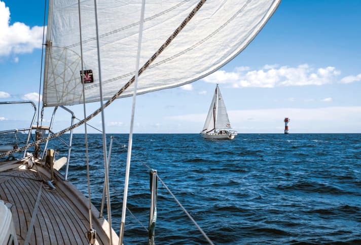
The temperature is now 93.7 degrees. In the black night we glide towards the leading light Schleimünde-Lotseninsel. 0.7 miles later the lights of Schleimünde West are in cover. A glance at the compass confirms the correctness of the new course, 107.5 degrees! Another 0.8 miles and we are exactly abeam the small harbour of Schleimünde. Shortly afterwards, the Schlei is astern. We continue sailing on the edge between the red and green sector lights on a course of 20 degrees. Just as planned, we later pass the exit of the Flensburg Fjord before an unpleasant wave builds up there as the wind picks up. We also leave a temporary naval firing area, which is announced in the notices to mariners for the day, behind us in good time.
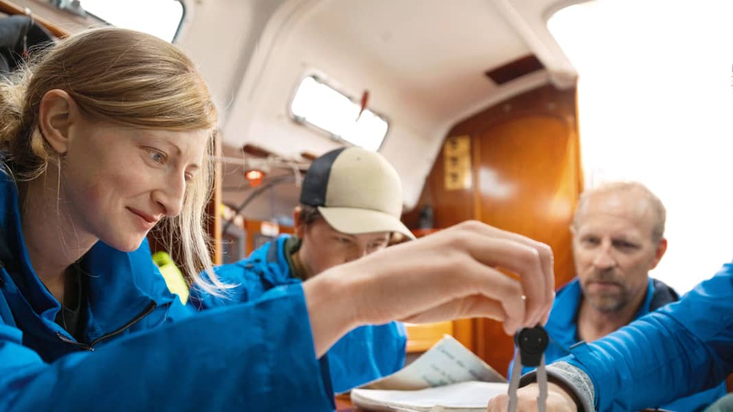
All courses to be sailed, beacon lines and so on are listed chronologically in a notebook. You should avoid having to read charts at night with goggles and red light in narrow and shallow waters.
Also check the weather in the home area before the command "Cast off!"
Some people are probably asking themselves: "Who prepares a trip so meticulously?" Hand on heart, most people take a quick look at the weather, switch on the plotter and then it's "Cast off!", especially in their home waters. This has little to do with good seamanship. Above all, it does not contribute to safety, on the contrary. So here are some tips on preparing for your trip in terms of the weather.

What will the weather be like, where can we get comprehensive advice, which routing should we choose and why? How should we navigate? Wouldn't a plotter suffice instead of a paper map? These are all necessary questions, but are they really the most important ones? My answer: No, they are not!
Working together as a crew also counts
Good seamanship when preparing for a cruise means, first and foremost, bringing the different expectations and abilities of all crew members down to the lowest common denominator. What does that mean in concrete terms? As skipper, you are responsible for the well-being of all crew members. To ensure that no-one goes to the start with mixed feelings, all issues relevant to the trip are discussed and decided together in advance.
In terms of weather, this means: what conditions can you tolerate, how long can the trip be, can you sail into the night if necessary? This and much more must be orientated to the needs of the newcomers on board and not to the wishes of the salt humpers. Everyone will quickly realise that it is much more fulfilling to sail 20 miles with a relaxed and cheerful crew than to have to complete 120 miles with a tense, anxious one.
Take a detailed look at the weather for trip planning
Only when these questions have been clarified can the actual preparations begin. Above all, the upcoming weather situation should be analysed in detail. After all, bolting 20 miles upwind can be more strenuous than hurtling along for 50 miles in rough winds.
We use various sources in order to be as comprehensively informed as possible. The DWD's marine weather report provides an initial rough overview. It provides us with information on wind, wave heights and visibility in the various areas of the North Sea and Baltic Sea. It is issued every six hours between 00:15 and 18:15. In addition to the marine weather report, there is various other information on the DWD website, including station reports with the latest weather.
Those who prefer more detailed information can also use the services of various other commercial providers such as Windfinder, Windy, Windguru or even those of foreign state meteorological institutes. In addition to information similar to that provided by the DWD, you can also benefit from animated maps that visualise the development of various weather parameters.
If you want to be even more precise, you can get your own weather forecast from companies such as Wetterwelt. Of course, you have to pay for this service in return for a phone call with a professional meteorologist.
Compare different weather models
The possibilities are virtually limitless. My motto is to look at as many different weather models as possible and create my own "average model" from them. With a little experience, you can then judge what to expect.
Too little attention is often paid to the surface currents of the sea areas to be navigated. They can really slow you down in the Great and Little Belt or the Øresund, for example. If you assume an average speed of four knots for your own yacht, for example, two knots of current can cause huge differences depending on the direction: you can go three times faster in one direction than in the other. You should take this into account when planning your trip.
With such currents, it quickly becomes clear that even in a virtually tide-free area such as the Baltic Sea, significant changes in water level can occur. It happens time and again that a ship simply cannot leave a harbour because it is grounded. Several days of strong westerly winds in particular should make you sit up and take notice.
Check current water levels
The water from the Atlantic then pushes into the North Sea and creates a waterlog north of Zealand and Funen. In other words, not as much water can come in from the north as is pushed away in the south towards the Baltic. In the western Baltic Sea, it then becomes very shallow. It can therefore be worthwhile moving the boat to a deeper berth in good time so that the departure is not jeopardised. Current water levels are available, for example, from Pegel Online, a service provided by the Federal Waterways and Shipping Administration.

