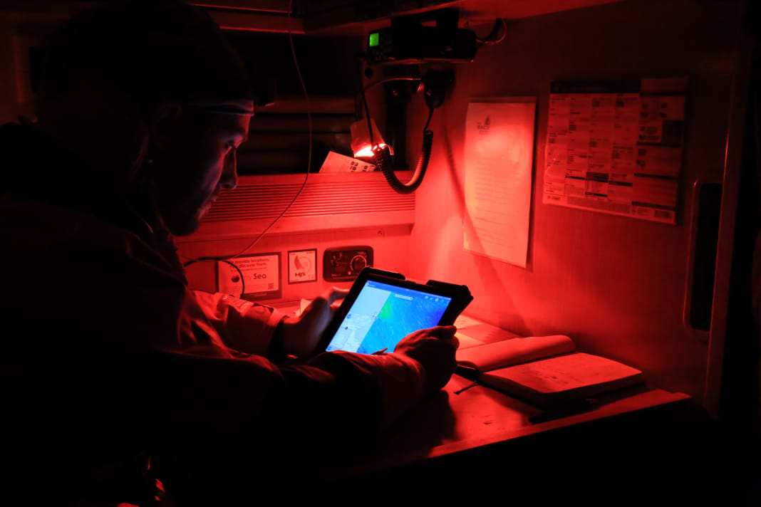
Apps for sailing: The top 10 weather and routing programmes


In offshore regattas such as the Ocean Race, the navigator is one of the key members of the crew. He uses software to interpret the weather models of professional services, evaluates them in the context of the performance of the ship and crew and thus determines the route to be sailed. This route is often not the most direct route, as it is sometimes advantageous to take detours in order to avoid doldrums, storms or heavy seas and thus reach the destination more quickly or safely.
This might also interest you:
For many cruising sailors, the use of such services may seem a long way off, but good weather and routing programmes have a lot to offer them too. For a long time, however, such software was only available in the form of expensive laptop versions such as Adrena, Expedition or similar; prices started at around 500 euros and could amount to several thousand euros in sophisticated professional versions. However, for some years now there have also been somewhat slimmed-down software solutions for tablets or even smartphones. With prices even below 50 euros, these offer a far more favourable entry into the world of weather routing. At the same time, there is no need to take a laptop on board. We take a closer look at ten free and paid weather and routing apps:
10 weather and routing apps
DMI Vejr

The app from the Danish weather service offers high-resolution wind, gust, water level, swell and current forecasts in a map display. However, the forecast period is only three days. This also applies to the location-based meteograms, which show wind, temperature, cloud cover and precipitation. Rain radar and precipitation forecasts are separate graphics, so you cannot simply look into the future from the history.
PredictWind - Marine Forecasts

Very powerful app with seven different weather models. The basic version is free, but does not support routing. If you want to use the service, you must subscribe to at least the standard version, which costs 59 euros per month. In addition to the weather forecast, AIS data and the Navily area guide can be accessed via the "Local Knowledge" menu item. For routes without mobile phone coverage, there is a data-saving offshore version optimised for satellite connections.
Sailgrib WR

Even the free basic version offers a weather routing function, but only for 50 nautical miles and based on rough GFS data. If you want more, you need a subscription or can activate the function permanently with a one-off purchase. Sailgrib can be combined with the Boating app from Navionics then the routing is also displayed on the nautical chart. The weather data is transmitted as Grib files, so the app can also be used with satellite connections.
- only for Android
- free of charge/full version: 99 Euro
Seaman

The Wetterwelt programme works with the company's own Grib data and offers two models with different resolutions and forecast periods of 48 and 120 hours. Wind, gusts, cloud cover and swell are forecast. A route can also be created, whereby the app generates a route weather forecast. The calculation is performed at constant boat speed.
- Web app for all systems
- Free demo, real data for 29 euros per month or 59 euros per year
SMHI Väder

The app from the Swedish weather service is based on the same models as the apps from DMI and Yr and provides very accurate forecasts, especially for northern Europe. In the map display, the resolution of the wind field is much coarser than in the DMI, and there are no gust or flow forecasts. Instead, rain radar and forecast are combined in one animation, and the meteograms offer a forecast period of ten days.
Other practical apps for sailors:
Squid Mobile

Powerful, easy-to-use routing app with favourable data packages divided by region. Free basic version without routing with rough model data and short prediction time. The high-resolution Europe package with routing costs 33 euros per year. The polar data important for routing can, unlike with Predict Wind and Sailgrib WRdirectly in the app. Also available as a desktop version for Windows and Mac.
Windfinder: Wind, Weather, Tide (Plus)

A good alternative for a quick look at the weather, it forecasts wind and gusts as well as wave heights, but no ocean currents. The paid Plus version should be used. The Superforecast must then be activated, otherwise the forecast is based on rough data from the GFS model and is therefore unreliable. The Superforecast offers a forecast period of three days.
Windy.com - Weather & Radar

Beautifully animated and easy to understand app with countless parameters. You can choose between different weather models. The forecast period in the basic version is up to five days, depending on the model. The paid premium version offers a nine-day forecast. The weather can also be calculated along a route, but only at a fixed speed.
Yr

The Norwegian weather service only provides location-based tables and meteograms. Animations of the wind or current field are not provided. However, the forecast period is ten days. However, gusts are only forecast for the first three days. The app shows nearby weather stations and, if available, webcams via the area search, so that you can get an impression of the current situation on site.
Rain Today

A visually appealing alternative to the familiar rain radar. It provides location-based data, sometimes with minute-by-minute forecasts of when rain is coming. Unfortunately only for Germany.
- only for iOS
- free of charge (ad-free with subscription)

