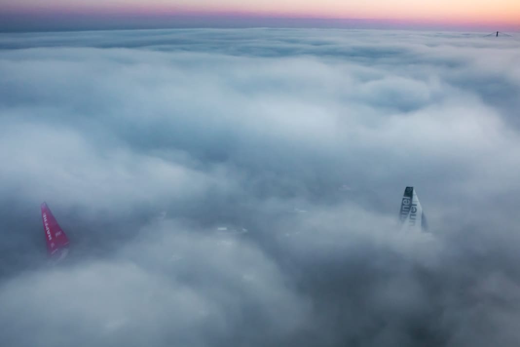


When the fog falls, it quickly puts an end to our most important sensory perception - sight. Suddenly being deprived of orientation is so unfamiliar that fog always triggers an eerie feeling.
It usually catches sailors unawares. Read this article to find out how you should behave:
The chance of fog occurring varies at different times of the year. Up to the middle of the season, it is more likely on the North Sea and Baltic Sea due to the Atlantic warm air supply, but not immediately in coastal regions, where the warmer water of the rivers inhibits fog formation. From June to August, the German regions are largely free of fog, but from September the frequency increases rapidly on the North Sea and Baltic coasts. The areas with the most fog in our latitudes in spring are the southern and eastern English coast and the central and northern North Sea. Around May, the coastal areas of the North Sea and the Baltic Sea east of Bornholm are added.
Sea mist
Two types of this visual obstruction are important for recreational boating: coastal fog and sea fog. The former often occurs in the morning with the onset of the sea breeze and is of relatively short duration. Meteorologists refer to this as mixed fog. By contrast, typical sea fog, for example over the Newfoundland Bank, can also form during storms and often persists for many hours or days.
The cause is always an air temperature below the dew point, the differences lie in the meteorological circumstances that lead to this constellation. Despite the wording, the dew point has nothing to do with thawing and ice (the point at which ice turns to water is known as the melting point). Rather, it describes a property of the air: the warmer it is, the more moisture it can absorb without this leading to visual impairments.
When the air cools down again, the moisture it contains condenses into tiny water droplets above a certain temperature: Fog or clouds form. This temperature is called the dew point and depends on the moisture content and air pressure.
In the case of sea fog, warm, moist air passes over cold water and cools below the dew point, whereupon the water vapour condenses and fog forms on the spot. This visual obstruction occurs most frequently in spring, when a high-pressure area on its northern flank shovels warm, humid subtropical air towards us. The more westerly the air flow, the higher the risk of fog. On its way across the Atlantic, the air absorbs more and more moisture, only to turn into fog as it cools over the still cold coastal waters.
The fog banks off Newfoundland are another example of cooling or cold water fog. Here, the air warmed by the Gulf Stream and saturated with moisture meets the much colder Labrador Current. The temperature falls below the dew point and fog forms. The decisive factors are therefore the general weather situation and the water temperature. As both only change very slowly, this type of fog is one of the most stable forms.
Coastal fog
There are two possible variants of coastal fog. Firstly, it can be mixed fog, which forms when moist and cool sea air from the coast meets warm, moist air from the interior, for example when a sea breeze sets in. The two air masses mix. As both transport water vapour, the mixed air can be supersaturated and the moisture condenses. The resulting fog usually only forms a band close to the coast and quickly dissipates with increasing sunlight, but the fog band can also drift out to sea.
The nasty thing is that the closer you get to the coast, the worse visibility becomes. This often makes terrestrial navigation impossible, because from the sea all you can see is a dense bank of fog instead of the expected landmarks. Fairways, approaches and harbours can suddenly disappear in the haze.
However, coastal fog can also originate on land, in which case it is referred to as radiation fog. This phenomenon usually occurs in autumn. On clear nights, the land, which has heated up during the day, and with it the layer of air close to the ground, cools down so much that the temperature falls below the dew point and fog forms, which then drifts out onto the open water. This scenario often goes hand in hand with low-wind, high-pressure conditions in late summer. Sea areas such as the Danish islands or the Kiel and Flensburg Fjords and the Schlei, where the water is surrounded by a lot of land, are particularly susceptible to this type of coastal fog.
Other interesting knowledge articles:

Hauke Schmidt
Test & Technology editor

