Gale warning: Secure boats, a gale is threatening over the North and Baltic Seas!
Ursula Meer
· 15.02.2022

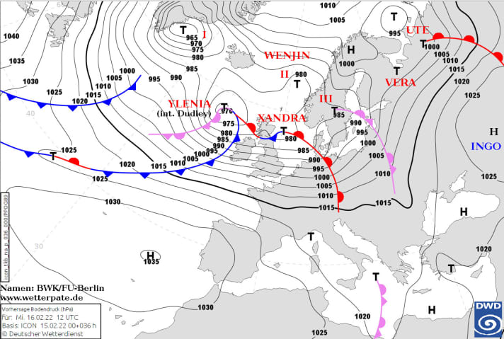
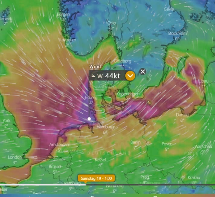
Several areas of low pressure are currently making their approach over the North Atlantic and will hardly come to rest over the next few days and nights. "From this evening, we will be in a low-pressure complex over the whole of northern Europe," says meteorologist Sebastian Wache from the Kiel-based company WeatherWorld ahead. "It will bring strong storms and gale-force winds in places. A hurricane is expected from late Friday," Wache continues. The forecast for the North Sea is for fabulous wind speeds of 140 km/h over large areas, with air pressure dropping to 970 hPa in some places.

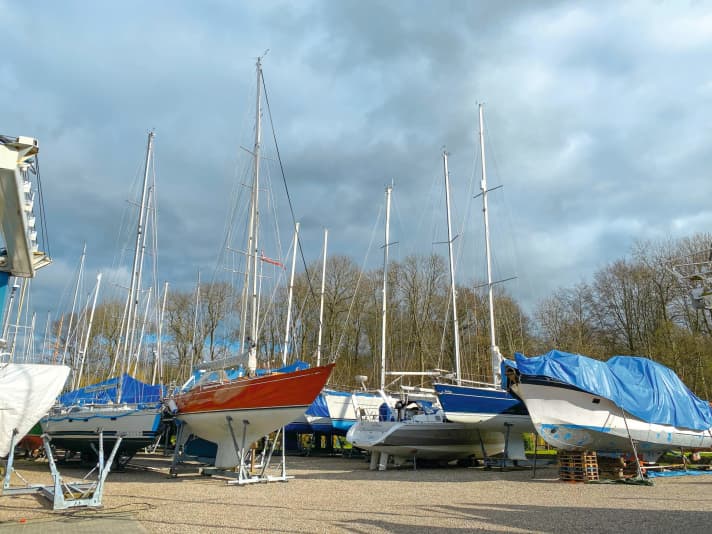
Low pressure system "Xandra" will hit the North Sea coast in particular tonight with heavy storms and lots of rain. After that, it will be calm for a few hours before the wind from the west picks up speed again on Wednesday and tugs at winter tarpaulins and mooring lines with strong gusts of wind. It will move from west to east across the whole of Germany, "only Bavaria will be spared from the gale on Friday and Saturday," reports Wache.
The wind does not initially come from the north-westerly direction, which is particularly critical for the Elbe, but more from the west. However, it is unlikely to let up for 24 hours and will constantly push the water against the coast - it cannot recede even at low tide. Severe storm surges can be expected on the North Sea coast and on the Elbe and Weser rivers by the time it turns to the north-west on Sunday at the latest.

In the Baltic Sea, on the other hand, the water level can drop by up to one metre. If you have your boat in the water here, you should lengthen the mooring lines and possibly move it to a place with deeper water. Friday lunchtime could be a good time to do this if a tiny area of high pressure brings a few hours' break in the wind before a hurricane hits Germany late Friday afternoon.
On all coasts and inland lakes, the unusually long-lasting and strong storms are likely to put a strain on boats in the water. Fenders and mooring lines will be put to the test. A few extra lines and fenders are advisable, because the wind will not let up in the coming week either.

There are two reasons for this: The "polar vortex", which recently caused a powerful hurricane near Iceland with 30 metre high waves, continues to swirl strongly over the North Pole. This vortex usually splits at an altitude of 30 to 60 kilometres in spring or disintegrates completely when the temperature rises above the pole. This year, it is persisting and fuelling the jet stream that is passing over northern and central Europe at an altitude of 10 km.
The jet stream will be even faster due to the large temperature contrast in a small area: it is very warm in southern Europe, while Scandinavia is still shivering at double-digit minus temperatures.
Calm in the air is not in sight any time soon. The only constant thing about wind and weather in the near future will be their volatility.
Downloads:

Ursula Meer
Redakteurin Panorama und Reise
