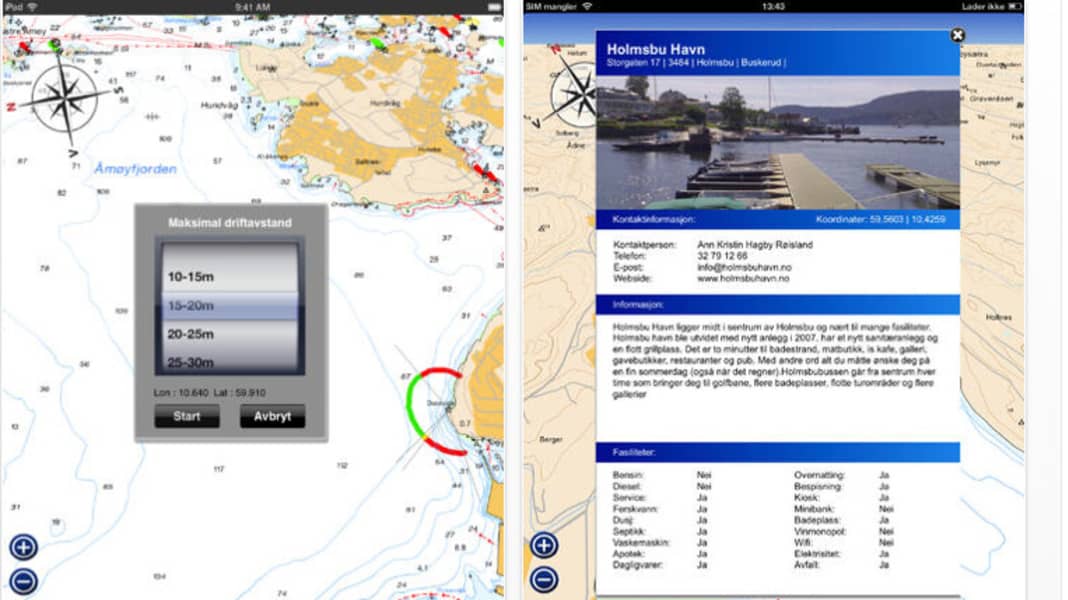

However, the new "Båtsport" offering occupies a niche in the constantly growing navigation app market, as only the maps for Norway are currently available. However, the features are definitely worth mentioning: in addition to the usual standards such as distance measurement, waypoints, routes etc., there are also adjustable anchor alarms, the rarely offered MOB function as well as detailed harbour information with aerial photos or a possible update of previously downloaded maps. German can also be selected for the menu navigation.

The only downside is that the map sets are divided into relatively small areas and have to be downloaded individually. At around 30 euros per set, the material is also significantly more expensive than other apps such as Navionics, which offers Europe sets including Norway for around 50 euros. It is not yet clear whether the map sets are more detailed, have a better resolution or are more up-to-date. The app itself is free; however, if you download it, you can only use a rough overview for trip planning without additional charts. An Android version is not available.
