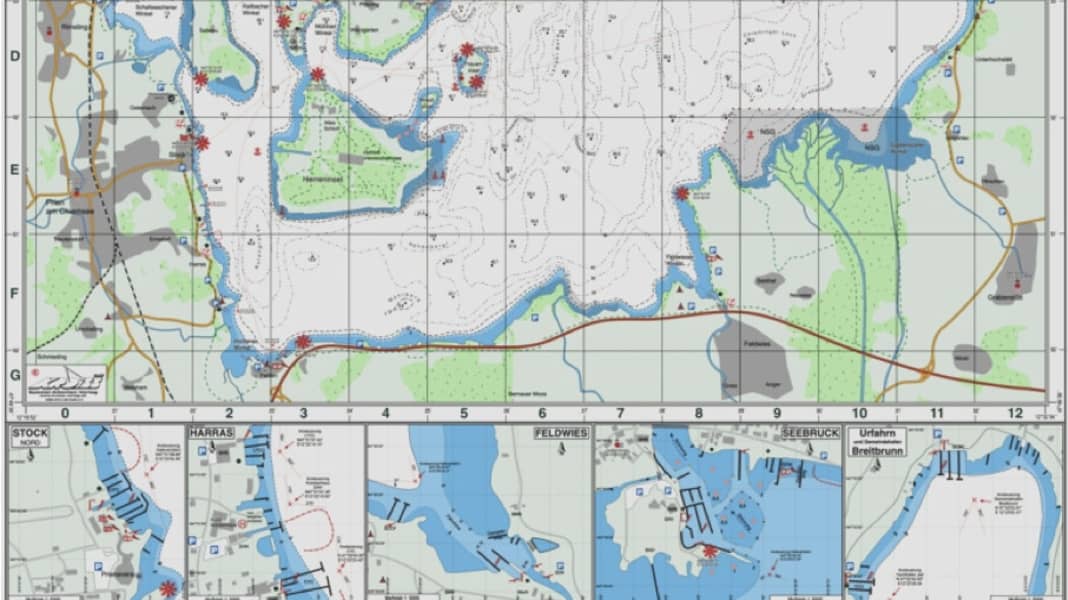
The new lake map
Kroiss-Verlag publishes nautical charts for the popular inland waterway, suitable for recreational and commercial shipping
The maps have been completely redrawn. The depths in the shore area are based on new surveys. In co-operation with the lower nature conservation authority, all protected areas and the relevant environmental protection regulations for water sports enthusiasts have been incorporated.
The new Chiemsee map is available in two scales.
The 1: 25,000 edition, measuring 65 x 70 centimetres, contains a detailed map of Fraueninsel, five harbour plans and the Chiemsee yardstick figures for the current 2011 season.
The 1: 40,000 edition, measuring 34 x 44 centimetres, also includes a detailed map of Fraueninsel.
The tickets are available from specialist retailers, and from mid-May also via Amazon available.
