The Marker Wadden have a long history: they must have felt a bit like little gods in a sandpit, the engineers and hydraulic engineers who have transformed the Zuiderzee from a North Sea bay into a protected inland waterway over the last 100 years. But they didn't just protect it, they also drained it, for example the north-east polder or the Flevopolder. Utilised land that was extracted from the sea.
Ready for new islands
At some point, however, they came to their senses and decided to leave more water than originally planned - and it is within these boundaries that we now find IJsselmeer and Markermeer. But something was still added: islands. Most of the old ones had been swallowed up by the land during reclamation or were at most still in coastal locations, like the old fishing town of Urk.
New nature has now been created, a place for migratory birds to rest and breed, but also for recreational water sports enthusiasts. The largest project is located south of the Houtribdijk in the Markermeer: several islets of washed-up sand, all of which will one day form part of the Nieuw Land National Park.

Marker Wadden: quite natural
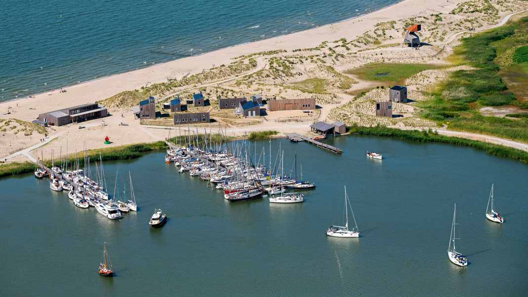
The largest and youngest of these is the Marker Wadden, which itself consists of several parts and will not be completed until 2021. Anyone who doesn't know this and the fully equipped marina However, when you enter the harbour, you imagine yourself in a natural landscape of beach, green dunes and vast salt marshes. So man can play creator!
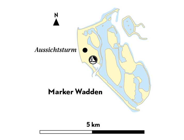
The Marker Wadden is located at 52º35'02" North and 005º21'58" East. Its current surface area is around ten square kilometres, most of which is inaccessible to visitors (except for birds). The island is part of the youngest national park in the Netherlands: Nieuw Land. However, in the home country of boating, it is hardly surprising that a harbour has been created with sailors and motorboaters in mind.

