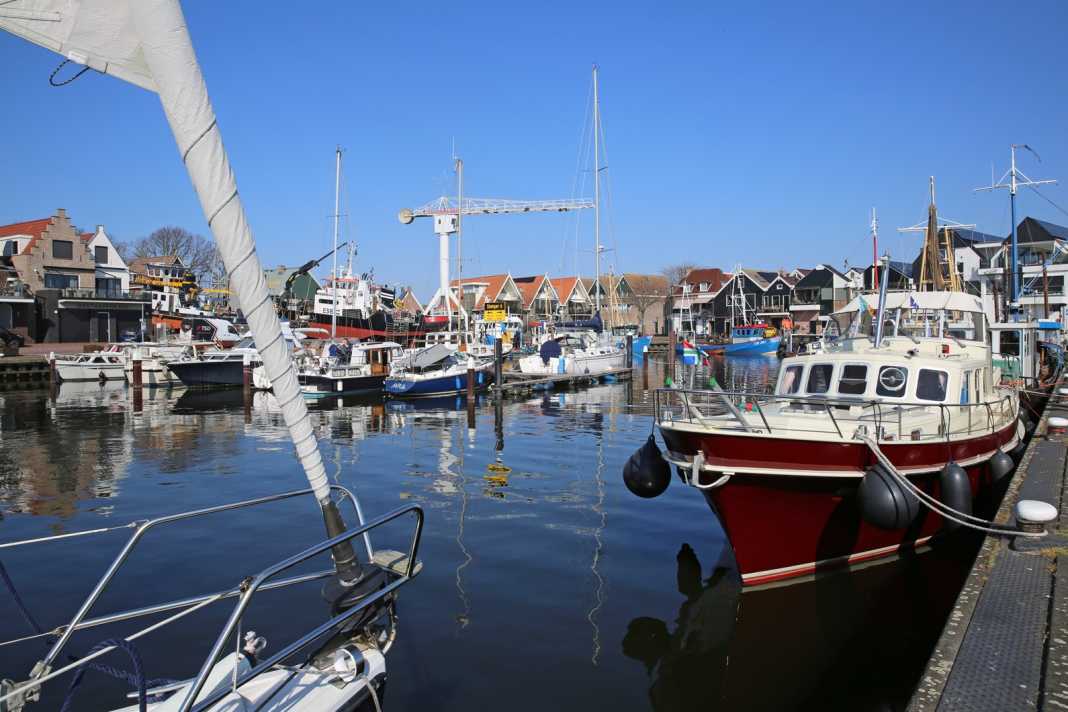


Friesland lies to the east of the IJsselmeer. To the south is the province of Flevoland. The coast is now part of the North-East Polder, which was drained between 1936 and 1942. As a result, two islands suddenly became mainland: the uninhabited Schokland, whose outline, completely surrounded by fields, can still be clearly recognised on aerial photographs. It is now a Unesco World Heritage Site. The other is Urk, but its busy municipal harbour has been preserved and is now a popular destination for sailors. And when you look out over the IJsselmeer from the red lighthouse, it is easy to imagine that you are still on an island.
Lost and newly created islands
Speaking of which: two new islets were created to replace the two lost ones - as retreats for animals and plants, but also as recreational areas for people, especially sports skippers: De Kreupel in the IJsselmeer and the Marker Wadden in the Markermeer. The latter even comes complete with dunes, beach and beach bar. A small paradise that proves that people can also help shape nature.
We cross the mouth of the Ketelmeer, the first of the marginal seas, to the Flevopolder. In terms of surface area, the largest artificial island in the world is comparable to that of Berlin. Drainage was only completed in 1968, so everything is more or less new. This is particularly true of the main town of Lelystad with its 80,000 inhabitants.
"Golden Age" in Lelystad
In order to bring in some history, Bataviawerf was established here - complete with museum and shopping centre, specialising in the construction of ships from the 17th century, the "Golden Age" of the Netherlands. The first project was a replica of the East Indiaman "Batavia" from 1628, which lies in the museum harbour.
The nearest guest harbour to Museum Batavialand is Deko Marina Lelystad, just north of the large Houtribsluizen. This is because Lelystad is the eastern end of the Houtribdijk, which leads from here to Enkhuizen and separates the IJsselmeer from the Markermeer.
From the IJsselmeer to the Markermeer
To port in the south-west lies the IJmeer, the last tip of the old Zuiderzee, and the approach to Amsterdam. It would be a good 20 nautical miles from the Houtrib- to the Oranjesluizen, which mark the entrance to the harbour of the metropolis. On the Markermeer, however, is Marken, the last historic inhabited island of the former Zuiderzee.
However, the point of approach is not the famous Paard van Marken lighthouse, but rather the northern tip of the long Bukdijk, which ensures calm conditions in the Gouwzee, a bay between the island and the mainland. The small harbour is just as tranquil as the entire island. As a causeway connects Marken with the rest of the province of Noord-Holland, it can get quite crowded in summer. Original plans to turn the Gouwzee into land were fortunately not pursued.
If they had been realised, two other harbours on the bay, which have lived by the sea and from the sea for centuries, would also have lost much of their character: Monnickendam and Volendam with neighbouring Edam, whose Kaasmarkt in July and August is an event with a centuries-old tradition - much to the delight of tourists.
Old rivals: Hoorn and Enkhuizen
The next two towns on the west coast are linked by a long rivalry - Hoorn and Enkhuizen - even though they are now separated by the western end of the Houtribdijk. Both symbolise the Gouden Eeuw, the golden age in which the Netherlands rose to become a world economic power.
Hoorn became particularly important when the United East India Company established a business centre in the city, putting it on a par with Batavia, Nagasaki and Cape Town. In addition, the most famous and notorious cape in the world bears Hoorn's name.
Magnificent buildings, visible from afar from the water, still bear witness to this prosperous time, such as the Hoofdtoren in Hoorn and the Drommedaris at the harbour in Enkhuizen. The Naviduct Krabbersgat with its lock in the Houtribdijk is just under eleven nautical miles from the numerous harbours of Hoorn on the Markermeer. Once back in the IJsselmeer, Enkhuizen, where the Zuiderzee Museum is located, is now just off the port side.
Our tour could end in Medemblik's Middenhaven, the last town before the Afsluitdijk, alongside in the peaceful shade of tall trees. Now only the Stevinsluizen near Den Oever await - and the North Sea beyond. As always. When the Zuiderzee still existed and its taming was nothing more than a bold dream.
Nautical literature on the IJsselmeer
- Nautical literature: Cruising guide "Holland 2: The IJsselmeer and the northern provinces" by Jan Werner. Delius Klasing: 224 p., ISBN 978-3-667-12063-2, 39, 90 Euro.
- Manual "The IJsselmeer. With Noord-Holland, Randmeeren, Flevoland" by Manfred Fenzl. Edition Maritim: 224 p., ISBN 978-3-667-12212-4, 39, 90 Euro.
- Sport boat charts "NL3 NVCharts Nederland. IJsselmeer, Markermeer en Randmeren"NVCharts: Oversailer, district and detailed charts. Format: 32.4 x 44 cm, 64.99 euros.

Christian Tiedt
Editor Travel

