Navigation: Curious U-turn in the Navionics route planner - Denmark not included after all?
Max Gasser
· 30.07.2024


UPDATE 31.07.24
What was true yesterday is already outdated today. The Navionics website has now been integrated into the website of parent company Garmin. At the same time, the "Chart Viewer" has lost all its free routing and planning functions. Licence problems also appear to be recurring in some regions of Denmark. The future of this helpful tool is therefore uncertain.
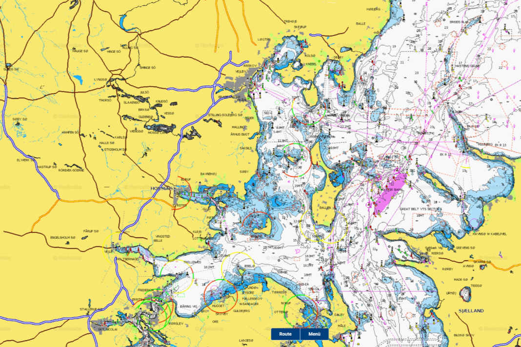
The "Chart Viewer" web app from Navionics makes it easy to plan a route in your browser. Comprehensive chart material covering the entire globe is available free of charge - exactly as it is displayed on the electronic chart on a plotter or tablet, and at all zoom levels. There are also various routing functions to help with planning. Specific nautical data such as water depth, harbours and anchorages can also be called up while underway, provided an Internet connection is available.
However, if you wanted to get an overview for your next trip to Denmark, you were shown a reference to missing licences instead of depth contours and buoys. This can still be found today in the FAQs from Navionics' parent company Garmin. It says: "Navionics uses data from hydrographic offices together with many other sources to create the charts. Some countries, including Denmark, currently restrict the use of their data in a free internet product such as our Chart Viewer."
This obstacle seems to have been removed, at least in the case of Denmark, which is of great importance to all countries bordering the Baltic Sea. Thanks to new licence agreements, the digital map is now also fully loaded with all functions north of Flensburg. In future, sailors will also be able to use the free service when planning their trips to Denmark.
Navionics "Chart Viewer": The most important functions


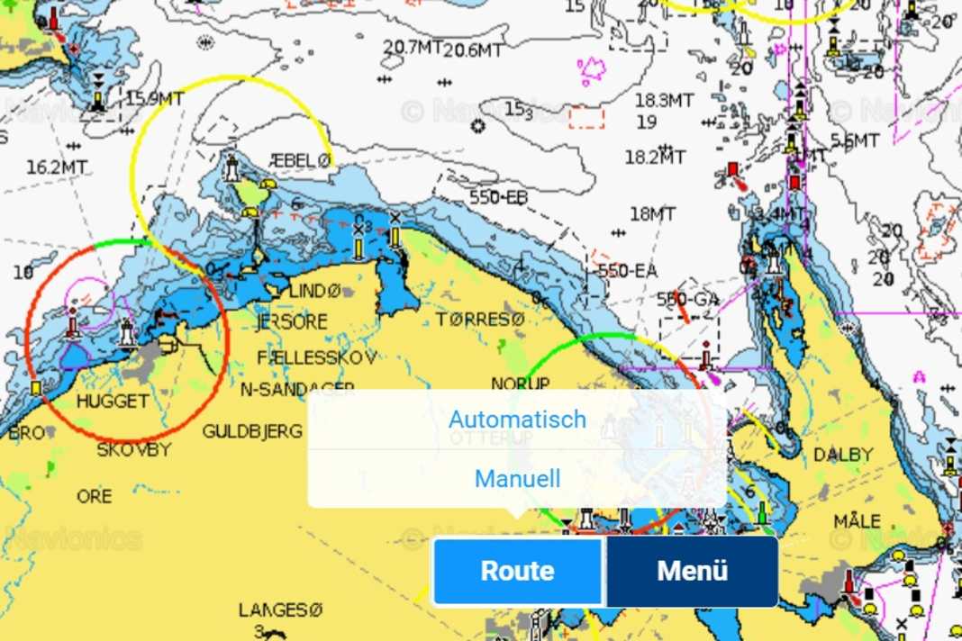
1. automatic routing
The automatic routing tool is the best way to determine the fastest and safest route. To do this, first mark the starting point and destination on the map with a mouse click. The best route is then calculated automatically, including information on marinas near the destination. It is important to enter the draught of the yacht beforehand. If you also enter information on speed and fuel consumption, the journey time and the amount of fuel required are also calculated (under engine).
2. manual routing
If you want to take a specific route, you can create it manually using waypoints. To do this, always click on the location of the next waypoint, which will then connect automatically. Here too, it is advisable to enter details of the boat in question.
3. distance measurement
Another button can be used to calculate distances between two points and the compass course from the starting point to the destination. The two pins can be moved by holding down the left mouse button.
