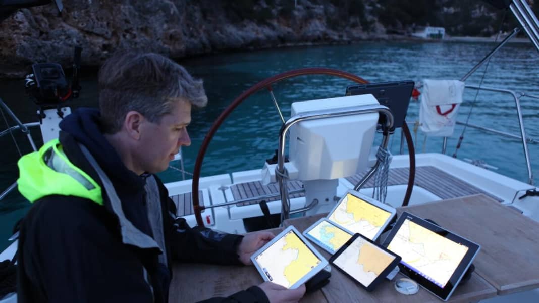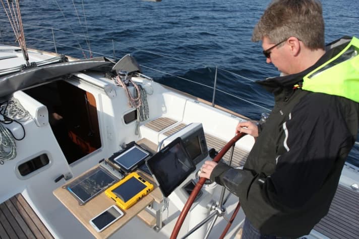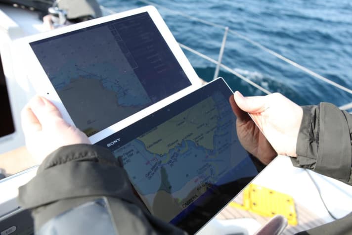
The programmes for normal consumer devices can do more and more: while they were initially very slimmed-down versions of electronic plotters and charts, the boundaries to "real" yacht electronics are becoming increasingly blurred. Even the MOB function and harbour plans, which were left out for a long time, can now be found more frequently.

We travelled with the apps from Navionics, C-Map (Plan2Nav), iSailor, Garmin (Blu Chart Mobile), MaxSea (Zime Zero), NV Verlag and Imray. All of them are now almost fully-fledged plotter backups, but there are still big differences in terms of features and details. Tip: Download the coat app that looks interesting to you from the Apple or Android Store; almost every provider has trial cards that you can use to check out the functions free of charge. If you like the app, you can then buy the card set, if not, simply delete it.

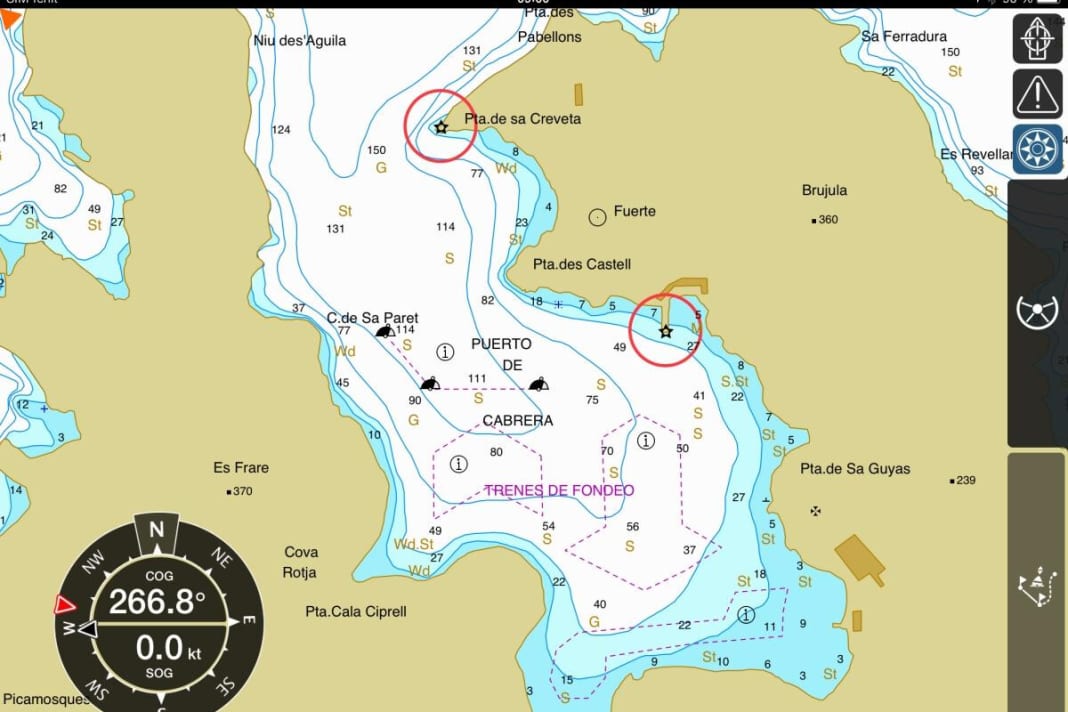
Some of the screenshots that did not make it into the YACHT test report in issue 9/2014 are shown here to make it easier to pre-select the apps.
This content is no longer available.


