Navigation: Navionics Boating App - plan with precision

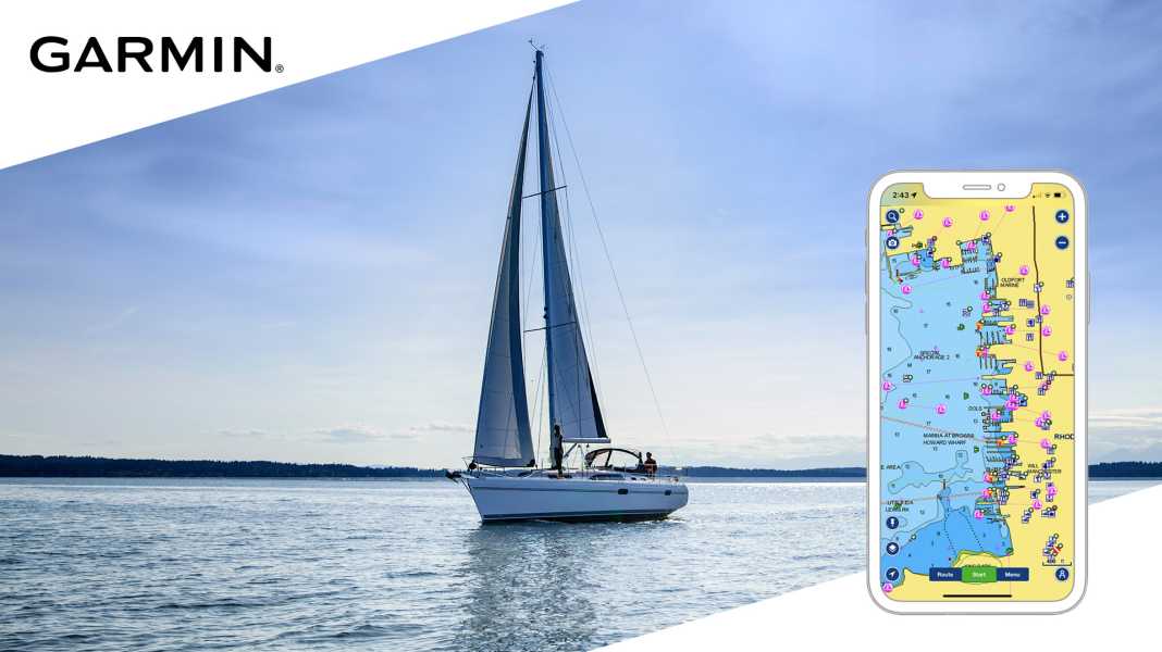
The Navionics Boating app from Garmin is a must-have for marine enthusiasts. Precise maps and innovative functions such as dock-to-dock routing - all in a practical and user-friendly format.
The Navionics Boating app is the perfect navigation aid for every maritime adventure. With detailed deep-sea and inland charts that are always up to date thanks to thousands of daily updates (with an annual subscription), you literally have the waters of the world in the palm of your hand.
Not only is first-class map content accessible at any time on compatible mobile devices. The smartphone can be used as a plotter via an app. On the one hand, the mobile device can be used intuitively, mobile and reliably for safe navigation on the water. On the other hand, the trip can be planned in advance from the comfort of your own home.
You are ideally prepared thanks to the dock-to-dock route suggestions. Based on current chart and boat data, such as depth and clearance height, the Auto Guidance+ technology suggests precise routes. Receive information such as ETA, distance to arrival, heading, fuel consumption and more. Real-time weather data, tide information and current analyses ensure that you are always one step ahead of the sea.
With different map layers and overlay combinations, the view can be customised to suit individual requirements. High-resolution satellite images are a great help, especially in unfamiliar harbours, where they provide you with a realistic representation of the surroundings. Experience breathtaking impressions of the underwater world with relief shading, which highlights the bottom structure thanks to colours and shading, and precise depth contours. What are the bays like and where can I find the best anchorage? The Navionics Boating app always gives you a clear view of what lies beneath you.
To display marine traffic and navigation aids overlaid on your chart, the Navionics Boating app can be connected to a compatible AIS receiver with Wi-Fi. As soon as a boat enters the safe area you have marked, you will be warned via acoustic and visual alarms and thus alerted to possible collisions.

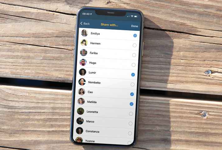
Also use the information shared by the ActiveCaptain community in the app. Find an extensive and diverse set of POIs, e.g. marinas, anchorages, danger spots, businesses and more. Get useful recommendations and advice from people who know the local conditions first-hand.
Download the Navionics Boating App for iOS or Android and test all functions in the free trial subscription.