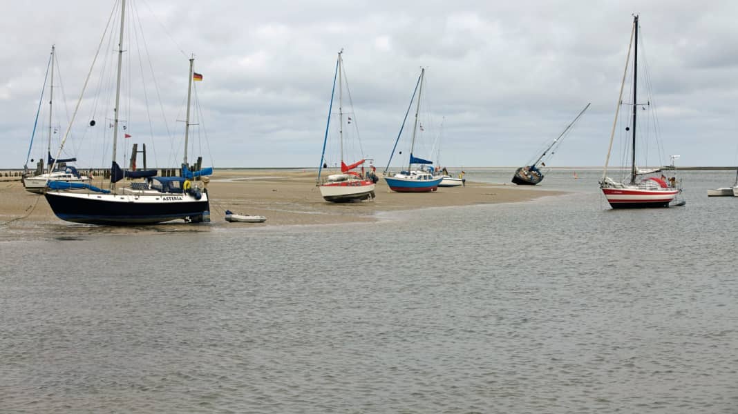
Navigation in the Wadden Sea off parts of the German North Sea coast and also in the Baltic Sea is becoming easier. On the Baltic Sea, the nautical chart zero is being standardised across all countries. Several neighbouring countries had already changed their charts accordingly, and Germany has now followed suit. On the North Sea coast, however, skippers now receive valuable information: The water and shipping authorities have made their sounding plans for the East Frisian Wadden Sea available to sailors online. The details.
The new chart datum in the Baltic Sea has a particular impact in the Scandinavian countries
Zero is not equal to zero, especially not on nautical charts. Along the Baltic Sea in particular, the nautical chart datum has so far differed from country to country, from region to region, sometimes even from chart to chart - and it has also varied over time. This is now changing: there is a new, standardised definition for the entire Baltic Sea - the Baltic Sea Chart Datum 2000 (BSCD 2000). In future, all information on water depths in the nautical charts will therefore refer to a common level, in line with the wishes of the shipping industry.
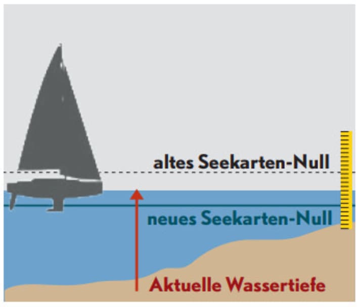
"Accurate water level information is very important for the safety of maritime shipping," says the Federal Maritime and Hydrographic Agency (BSH). This is because the Baltic Sea is a shallow, tide-free body of water with a very high volume of traffic. On the German Baltic Sea coast, the nautical chart zero refers to the mean water level. On the North Sea, on the other hand, the neighbouring countries agreed back in 2005 to use the lowest possible tidal water level as a benchmark everywhere, known as the "Lowest astronomical tide" (LAT). The respective tidal heights can then be added directly when navigating.
On the German Baltic Sea coast, the differences between the old and the new nautical chart zero are comparatively small, explains the BSH, which is why it is mainly the name that is changing here. "This has no effect on navigation, the depths in the BSH nautical charts will not change," explains an authority spokesperson.
The situation is different in Scandinavia and the Baltic states, however, especially as the land there has been rising to a not inconsiderable extent since the last ice age, while climate change is only causing sea levels to rise by a few millimetres every year. In most cases, the new sea level is below the old level (see graph above). The differences between the old and new values are between plus 0.26 metres in the Baltic region and minus 0.12 metres on the coasts of Norway and Sweden.
Mudflat sailing becomes easier and more accurate
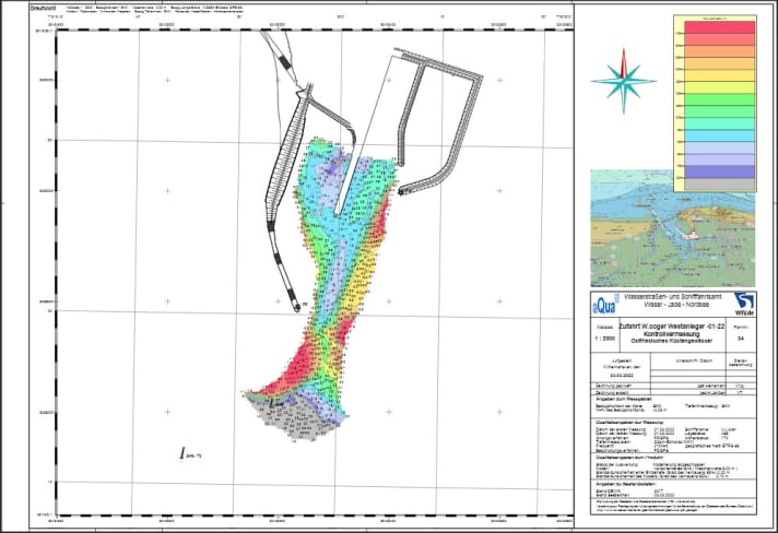
Good news for tidal flat users: the water and shipping authorities are making their sounding plans available. The data they contain is more detailed and reliable than the depth information on the nautical charts.
The fairways in the tidal areas on the German North Sea coast often tend to change their position or become silted up during the course of the season. The water and shipping authorities responsible for the area therefore have constantly updated sounding plans, which contain far more and more up-to-date data than any nautical chart.
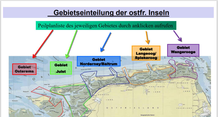
The differences, especially in the Wadden Highs, are sometimes "very large", say experienced tidal flat sailors. The problem is that the sounding plans were previously difficult for skippers to access. At the instigation of the Ems interest group, the authorities have now made their Data for the area from the Ems estuary to the Jade published on the Internet. IG Ems then created a freely accessible Excel-based calculation table for planning Wadden Sea cruises.
In addition to ship data and waypoints, only a few current values are required. The necessary access to water level forecasts, weather reports and the sounding plans are linked. Only for trips in the Elbe estuary and in the area of the North Frisian Islands do you have to request the data by e-mail from the authorities.
How trips on the mudflats are generally planned was last discussed in YACHT 21/2021 (click here) described.

