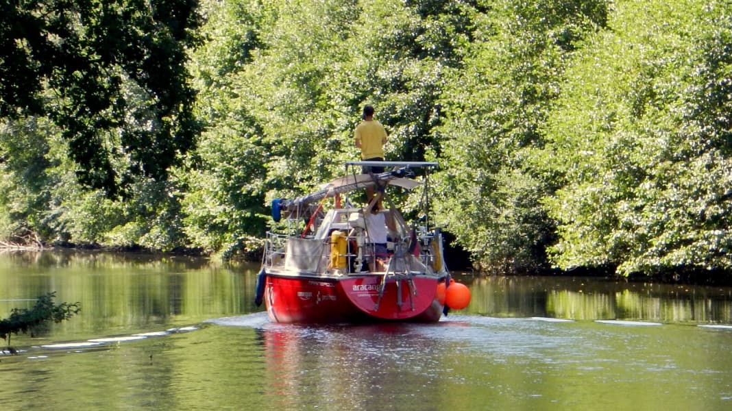
If you are interested in sailing, precisely timed tacks and polar diagrams, you can safely put this article to one side. Because not once are the sails set or a sheet plucked. Instead, the engine chugs leisurely through the French inland with the mast lowered. The Rhine-Rhône Canal, the Saône and the Rhône are to be the prelude to our sailing trip, the gateway to the sea, so to speak.
This begins in the deepest south-west of Germany, in Breisach am Rhein. The Rhine is the closest navigable river to Lake Constance, where our "Aracanga" has lived so far. And as the route through France seemed more attractive to us than the one via the Rhine to the North Sea, we decided to head south. On paper, it's an easy route and navigable for boats with a draught of up to 1.8 metres. Our keel protrudes 1.65 metres into the water, so with a little healthy caution it should be easy to navigate.
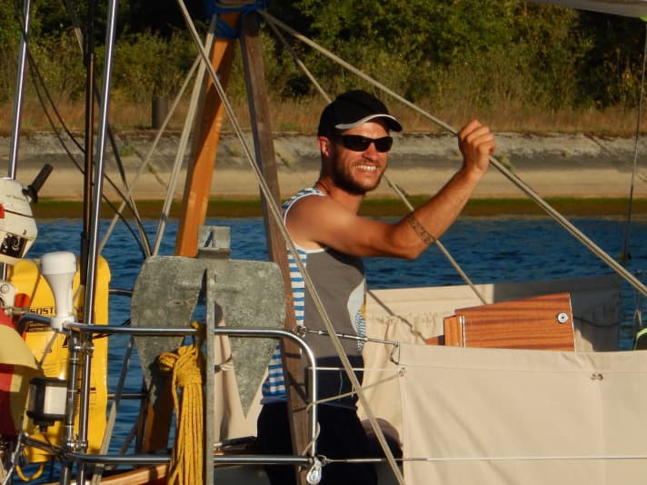
We cast off the lines in Breisach on 18 July with the rough plan of sailing into the Mediterranean at Port St. Louis du Rhône in the south of France a month later. And indeed, on 18 August we motored through the lock into salt water, so the plan worked out so far. Not quite as planned, though. Like many others, we hadn't reckoned with the extremely hot and rainy summer.
Not a problem at all!
There has been virtually no rainfall since May, and the water levels in the rivers and canals have suffered greatly as a result. The first part of the Rhine-Rhône Canal takes us uphill through 40 locks, which follow each other at very short intervals. In this part, the water level is relatively easy to regulate due to the short distances between the locks, and both lock keepers and harbour masters respond with "Oui, oui, pas de problem" to our enquiries about the water depths in the canal.
After the fourth day, we have reached the watershed, and from here it's downhill. Whilst a team of lock keepers accompanies us uphill, we are left to our own devices on the descent. In contrast to the ascent, however, the lockage downhill is very relaxed; the lines only have to be tightened slowly rather than by force.
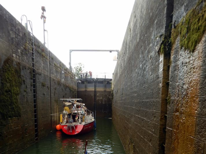
Instead of being accompanied by a team of lock keepers, we are equipped with a remote control for the upcoming locks. On its way towards the Rhône, the canal alternates over long stretches with the natural course of the Doubs, which are the most beautiful sections of the connection between the Rhine and Rhône. At the same time, however, great caution is required in these areas. Especially with a sailing boat with a firm keel and corresponding draught.
The river can swell considerably within a short time and increase in current. It is also paved with large stones, gravel and sand banks, which may not always be in the marked places, especially after a flood. However, it was not so much the high water as the extremely low water of the Doubs that caused us problems.
Especially at the lock exits, where the canal and the river merge again, there is a lot of debris, and after the second lock in the river at the latest, we only make very slow progress in these areas. As complete beginners in inland navigation, we also quickly learnt that the advice to keep 15 metres away from the bank leaves little room for manoeuvre, that an additional "safety distance" is not necessarily beneficial and that two metres of water depth is no cause for concern.
Everything goes well up to kilometre 85
We only slowed down from 1.9 metres and took the throttle out completely at 1.8 metres to slowly feel our way through the shallows. We wouldn't have made ten miles a day if we'd been any more careful, as the depth sounder rarely showed more than 2.5 metres. Of course, we touched the bottom a few times and got stuck a couple of times, but we never had any serious problems getting free again. Until kilometre 85 (the kilometres are counted from the watershed on both sides).
There, the canal was suddenly only 1.4 metres deep. Over a length of approx. 50 metres, the canal reinforcement slipped into the water at this point. The embankment was redone, but the debris was not dug out of the canal. After a few attempts in various places, we decided to retreat so that we could tackle the whole thing the next day well prepared and with fresh energy.
So in the evening, water tanks were pumped empty, outriggers were built to shift the weight and heavy objects such as the life raft and anchor were stored on the port running deck together with the chain. New day, new attempt. We were back at the shoal very early in the morning, hoping that the water level had risen a little, as the locks are not in operation at night. But the opposite was the case, the canal had lost between 5 and 10 cm of water.
Nevertheless, after a few hours of diving, we dug a channel for the keel with our salad bowl and were on the other side of the sandbank. A brief moment of joy, and then the next shallow, but this time not soft mud, but hard as concrete!
This was the end of the line for us for the time being. Turn around, head back to Deluz, the last harbour, and explore our options. After much deliberation and a phone call with a yacht designer friend, we discarded the option of reducing the draught by using bags and saw land transport as the last option. After all, the water levels would not rise in the foreseeable future. Going back and taking a different route was no longer a safe option due to the falling water levels.
High and dry on the low-loader
Two weeks later, the "Aracanga" was once again high and dry, but now on the truck and this time with the destination St. Jean de Losne, which is located about 100 kilometres west of the Saône and is France's largest inland marina. There we went straight back into the water, and the following day we continued the journey on our own keel. The Saône is a calm, leisurely river that flows into the Rhône near Lyon. The Rhône, on the other hand, can really get going, with currents of up to five knots.
The Rhône Valley is also the birthplace of the Mistral, a stormy wind from the north-west that regularly turns the sea area between the south of France, Corsica and Mallorca into a witches' cauldron. The two rivers take us past famous cities such as Lyon and Avignon, as well as dreamy, small villages off the beaten track such as the picturesque, medieval town of Viviers with its massive fortifications high above the city. The further south the journey takes you, the more Mediterranean influences can be recognised. Pine trees line the banks and the steep rooftops of the Franche Comte are replaced by flatter roofs with Roman tiles.
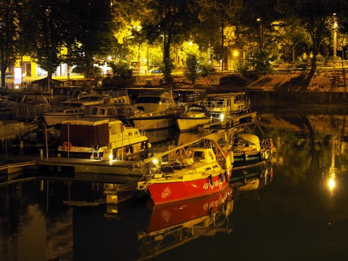
The Rhône flows into the Mediterranean at St. Louis du Rhône. However, the natural estuary is reserved for those familiar with the area; for everyone else, we pass through the lock from fresh to salt water and into the city's large harbour. Our mast is moored here and from here we begin the second leg of the journey: the Mediterranean.
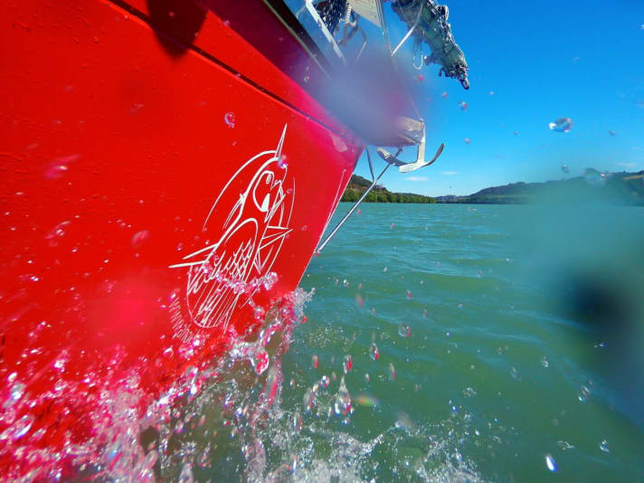
Conclusion: Despite the shallows and hardships, travelling the canals and rivers is a good and relaxed way to start a long journey and to get used to life on board before the slop, wind and waves provide additional challenges.
Information on inland navigation
Rhine-Rhône Canal: Officially navigable up to a draught of 1.8 metres, but realistically the limit in a normal summer is around 1.5 metres. As the state-managed Rhine-Rhône Canal is only used by recreational skippers, it unfortunately does not receive the highest level of attention from the authorities.
The canal is 237 kilometres long and has 112 locks, 40 to the Rhine and 72 to the Saône. There are numerous mooring possibilities, although the number is drastically reduced for yachts with a large draught. Maximum clearance height: 3.4 metres. The locks have a width of 5.10 metres. The canal has two tunnels (185 and 384 metres long), the maximum speed is 6 km/h on the canal sections and 10 km/h in the river.
Saône: From St. Jean de Losne (confluence with the Rhine-Rhône Canal) to Lyon (confluence with the Rhône), you travel 200 kilometres on the Saone. There are five locks with bollards embedded in the wall, the lifting height is between 2.9 and 4 metres. All locks are accessible via VHF. As large ships are travelling here, there are hardly any restrictions in terms of size.
Rhône: 310 kilometres from Lyon to the Mediterranean. The river offers few mooring options for recreational skippers, as licence-free houseboats are prohibited here. There is a lot of wind and current here, which can cause a short, steep wave to build up. There are 12 locks, the highest of which has a lifting height of 22.5 metres. All locks are equipped with floating bollards, so locking is not a problem. All locks can be reached via VHF.
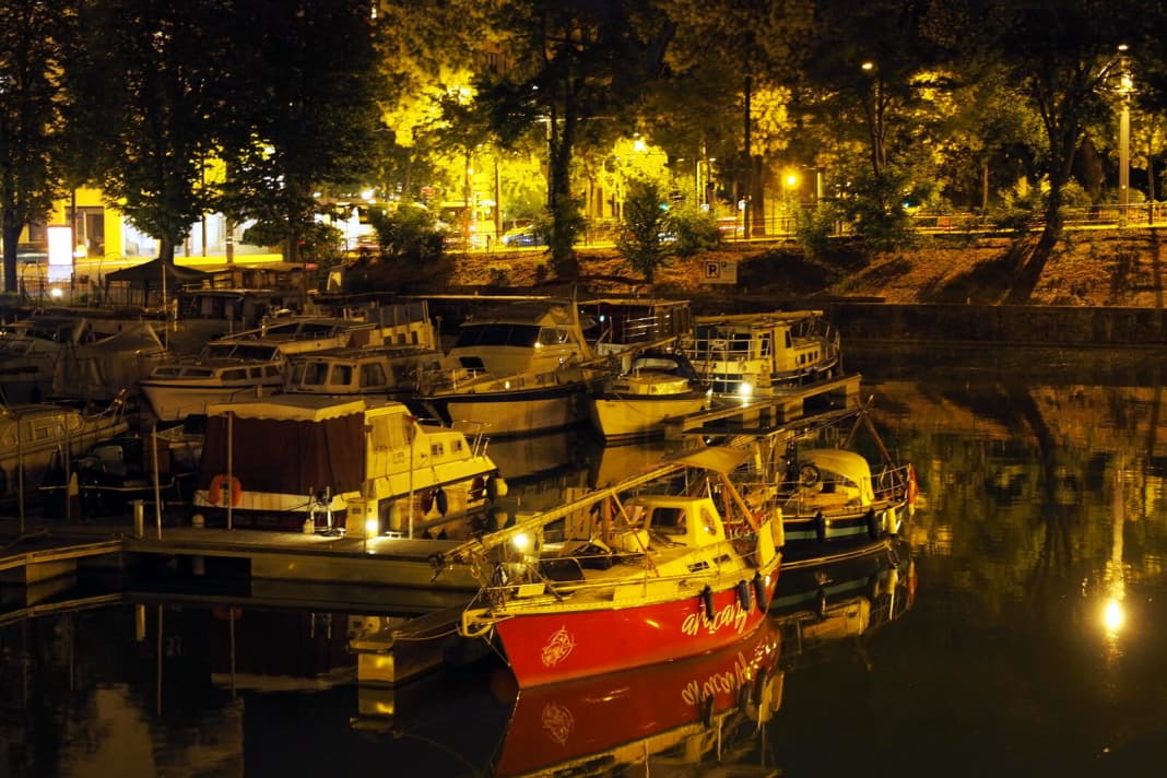


Checklist for canal drivers:
- long lines for the locks (it is best to use old lines)
- Check the water levels in advance
- At least two large ball fenders for the locks, enough other fenders
- fender board
- Radio antenna (with mast down). VHF is not mandatory, but helpful
- Steamer light (with mast down)
- Sufficient sun protection, e.g. large biminitop
- Large funnel for diesel, especially when refuelling in canisters (the boat filling stations have truck nozzles)
- River guide with an overview of locks, shallows, mooring possibilities
- Apply for a vignette for the desired period from the VNF (French navigation authority)
- The website water-ways.net and the book "Binnengewässer Frankreichs" (Delius-Klasing) are helpful for rough planning.
Further information, pictures and articles on the voyage of the "Aracanga" at Ahoy.blog

