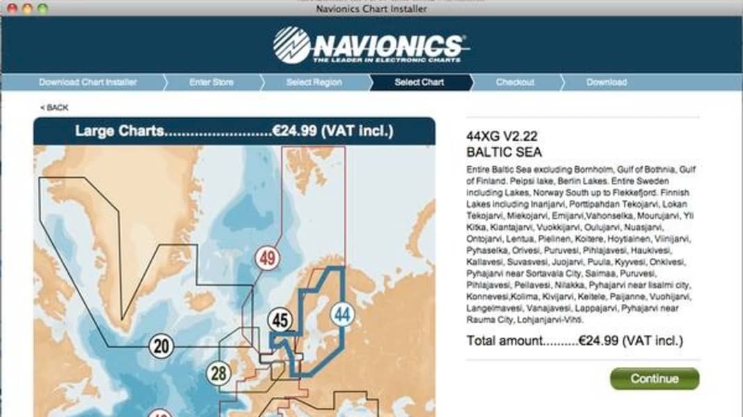
A set of cards costs just 25 euros. F
With the new navigation software from the Italian manufacturer, PCs and Macs become chart plotters at an extremely favourable price
The Skagerrak and Kattegatt chart set, which stretches from Germany to Norway, costs just 24.99 euros. The rest of the Baltic Sea can be added for a further 25 euros. Mind you, this includes the navigation programme.
Similar to the versions for I-Pad and I-Phone, the software offers the clear map image familiar from Navionics plotters and the basic functions such as cusrplots and route and waypoint navigation.
Charts and programme are downloaded from the Navionics website. This requires the installation of the Chart Installer. You can then select your terminal device and desired sea area.
Of course, a GPS receiver connected to the notebook is also required.
