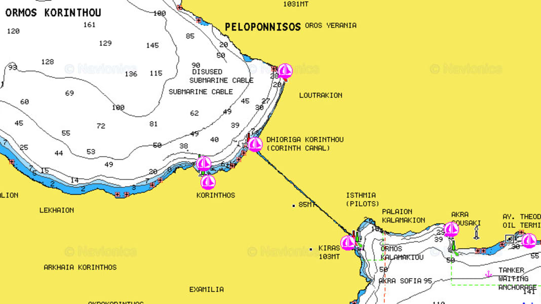
What is the clearance height of the Harbour Bridge in Sydney? How wide is the Corinth Canal? Or which marinas are there in Stockholm? What is the water depth in Lemmer harbour? All this can now be easily looked up on the web - exactly as it is displayed on the electronic nautical chart on a plotter or tablet, and at all zoom levels with the exception of some areas that only go up to a certain level of detail due to copyright issues. Example: Denmark. The only requirement for using the web app is Internet access.
Provider Navionics has put the service online for planning purposes. It is expressly not recommended for navigation. This is also difficult, as the service is web-based. Nevertheless, in some places an online connection on board may be cheaper than buying the maps. Nevertheless, due to the lack of reliability, the service should remain what it is: a planning aid. But it's a lot of fun: if a holiday destination is suitable for the characteristics of my yacht - just click in and have a look. Where did I go on holiday last year? That's also easy to find out.
Fancy trying it out? Here is the Link.
