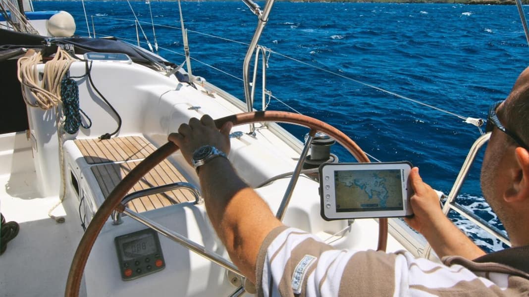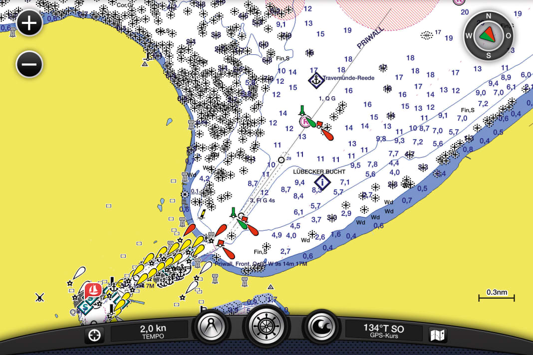
The advance of the new generation of tablet computers seems to be almost as rapid as the triumph of smartphones a few years ago. If you stroll through a marina in the evening, you will see more and more sailors in cockpits making intensive use of their electronic companions. Entertainment, weather information, internet access, emails - that's how it started. Nowadays, however, more and more crews can be seen at sea with an iPad or Android tablet in their hands. With modern navigation apps from Navionics, Garmin, Transas and other companies, the devices are becoming an increasingly serious competitor for the established plotter market.


Reason enough for the editorial team to go on a trip with Apple and Android devices and put the apps and hardware through their paces. The iPad Retina and its little brother, the almost 8-inch iPad mini, as well as two Android tablets from Panasonic were included. The latter are an exciting innovation: they are called Toughpads and come with water and shock protection as standard, so there is no need to retrofit a case for outdoor use. The iPad was protected by a shock-absorbing cover from Lifeproof that is waterproof to a depth of two metres. Another Android device, which was taken along more as a backup, quickly turned out to be less suitable for the test; the enormously reflective display and a weak GPS module made it virtually unusable as a plotter replacement. This provides important information for the purchase of the Android device.
Seven apps were installed in the test: Navionics, Garmin Blue Chart Mobil, iSailor from Transas, Plan2Nav from Jeppesen, the app from British chart manufacturer Imray, iNavX from Fugawi and the Swedish app Seapilot. It quickly became apparent that there are major differences in ease of use, intuitive controls, the scope of chart information and price - not everything was convincing. It was also clear that the manufacturers, almost all of whom also produce plotters or plotter software, are trying to differentiate the app from their higher-priced products by omitting features.
You can read about how the devices and apps fared in detail in YACHT No. 15, now on newsstands.
