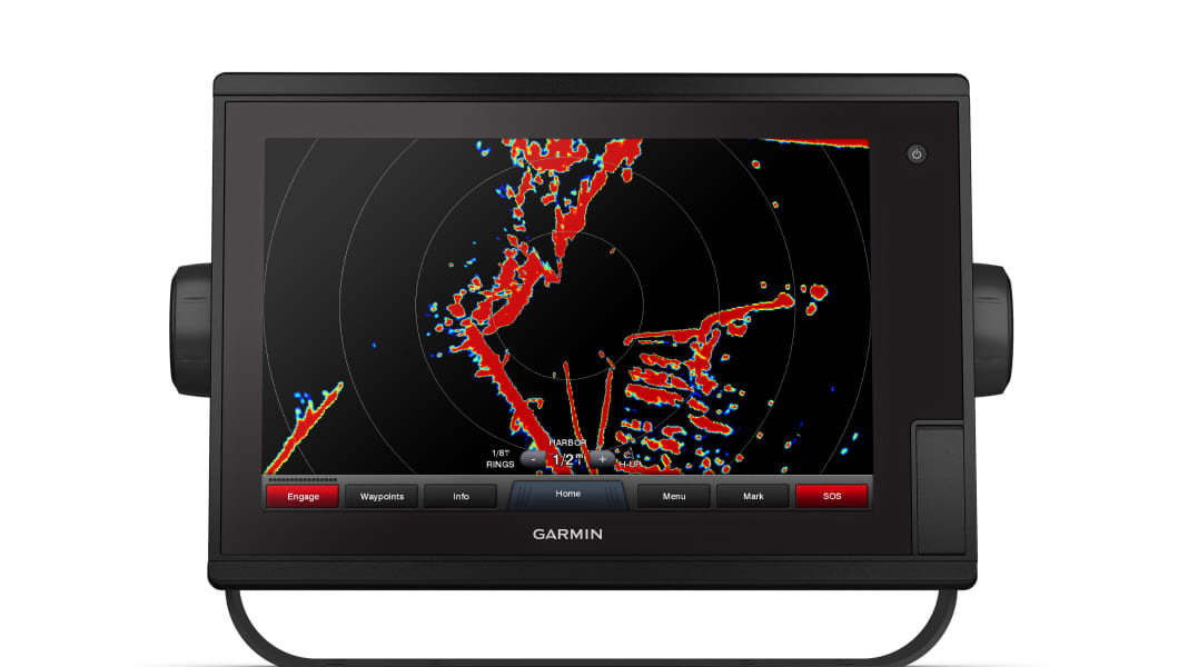
The GPSmap 1222 Touch expands the range of 12-inch devices with a more affordable, but still fully network-compatible version. Thanks to a recommended retail price of 2799 euros, the plotter is still 600 euros cheaper than the previous 12-inch model with touch operation.
With a resolution of 1280 x 800 pixels, integrated 10 hertz GPS, NMEA2000 and NMEA0183 interfaces, as well as HDMI input, Wi-Fi and the ANT-plus radio module, the plotter is state of the art. It also has two front-accessible SD card slots for nautical charts.
If a connection to the Activecaptain app is established via Wi-Fi, the charts can be purchased and downloaded via Gramin's own Onechart service. Together with a smartphone, Activecaptain also offers access to smart notifications and the Activecaptain community for details on harbours and anchorages. Fusion Link audio systems, Flir thermal imaging cameras, Grid keyboards and streaming via Virb cameras are also supported.
Of course, the plotter can be networked with radar devices, autopilots, echo sounder modules, instruments and other sensors as long as they support the NMEA2000 or NMEA0183 protocol. In addition to laylines, the Sailassist function also offers tide information, an extended wind rose, regatta functions and other helpful elements for sailing.
If you don't like touchscreen operation, the device is also available as a conventional plotter with a keypad for the same price.
Further information on: www.garmin.de.
