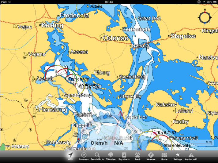
If you download the free programme to your iPad via the App Store, you can get started straight away, as a global overflight is included as standard. However, you can only really navigate once you have purchased the detailed maps required for the sea area. The prices are based on those of the competitor Navionics, but the C-Map charts are sometimes even cheaper due to a different categorisation of the sea areas. For example, the Denmark and Baltic Sea set costs 42.99 euros, but actually covers the entire Baltic Sea from Oslo to Haparanda and St Petersburg.
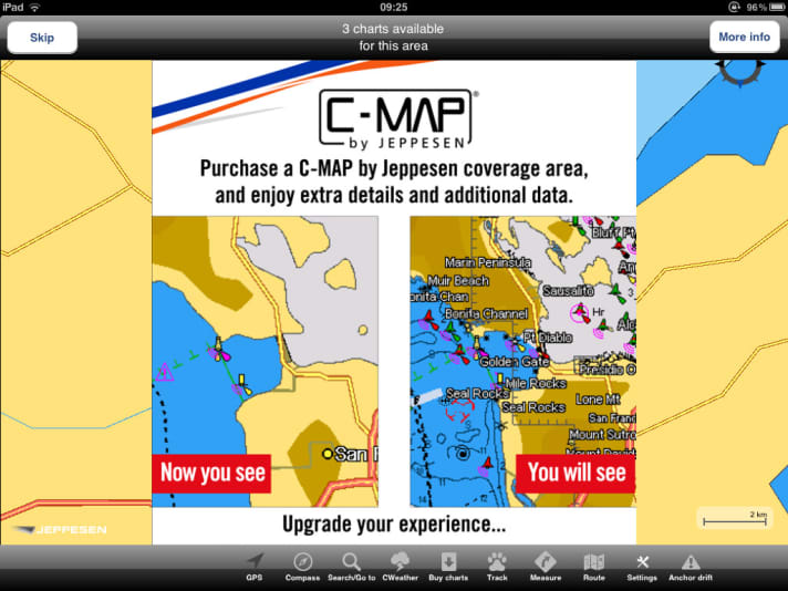
Unfortunately, the opposite is true for the Mediterranean. With Navionics, the area including the Baltic Sea, but without Denmark (the map set is called Europe), costs 40 euros. If you are travelling with Plan2nav from Jeppesen, you have to buy two sets of maps for the Mediterranean alone for 65 euros.
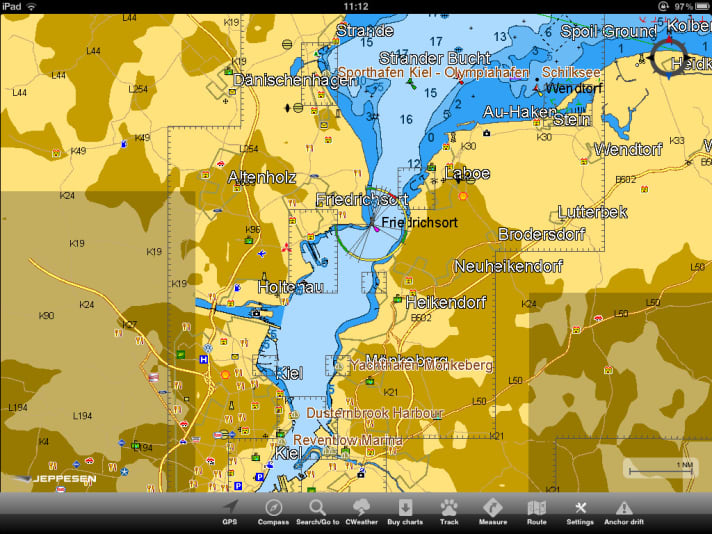
The range of functions is also similar to that of the Navionics app: routes can be created, distances measured and a weather forecast can be loaded as an overlay. Jeppesen also uses the iPad's fluxgate sensor, which means that not only the GPS-based course over ground is available, but also the compass course. This is displayed as a compass rose in the lower part of the map.
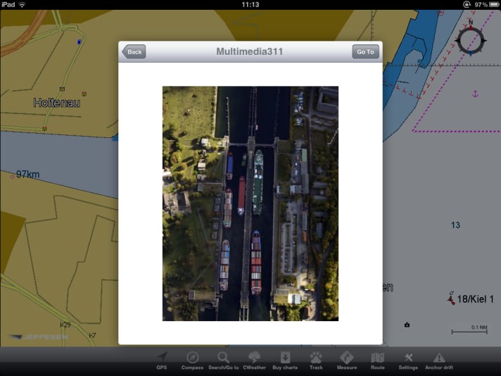
As the app is supplied without instructions or a help function, you have to learn the actual range of functions, such as the three different GPS modes (course and speed display only, course up, north up).
You will soon be able to read a detailed test in YACHT.
Plan2Nav is available in the Appstore
