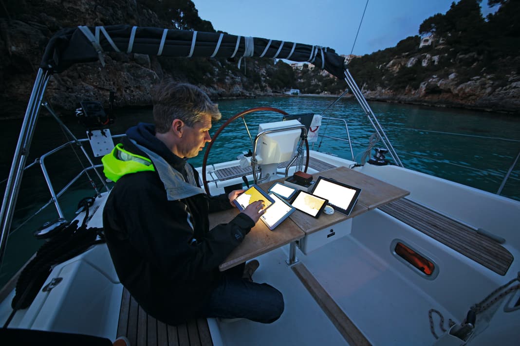


The concept of anchoring is simple, many sailors think - "drop the hook" and good. In fair weather and calm conditions, any anchor will hold the ship in position. But when the wind picks up or shifts, many anchor fields start to move. As in so many situations on board, apps can now be a great help here too. The situation is similar when choosing an anchorage or harbour. We take a closer look at these six apps that are particularly suitable as digital anchor, area and harbour guides:
AnchorChainCalculator

The question of the right chain length for the water depth and wind conditions is hotly debated. With the AnchorChainCalculator, the problem can be solved scientifically. The app developed by physicist and long-distance sailor Mathias Wagner not only takes factors such as the combination of chain lead and anchor line, water depth and wind pressure into account when determining the optimum chain length, but also expected swell and swell movements.
Harbour guide

Currently the best anchorage and harbour guide for Danish, Swedish and Norwegian waters. The content of the app corresponds to the printed manuals, with aerial photographs, detailed maps, nautical and tourist information. The subscription includes all volumes, from Norway to the Höga-Kusten region. This makes the app considerably cheaper than the printed manuals. However, it does require an internet connection.
Anchor alarm- The anchor watch

With the electronic anchor watch, the anchorage area can be defined according to the chain length, or the alarm area can be drawn manually on the chart. Shoals can also be marked in this way. The wind direction can also be monitored via a course alarm. The alarm functions can be transferred to a second iOS device. This allows you to check the anchor position even when you are ashore. The boat is shown to scale on the map and the movements of the boat are recorded.
- only for iOS
- 6 Euro
Other practical apps for sailors:
Navily (- The coastal guide)

A popular app for Mediterranean and Caribbean sailors with a community concept: users can rate some harbours, but above all anchorages. For example, the nautical chart contains information about the harbours, such as protection from wind and swell and the condition of the seabed, as well as comments from crews who have anchored there. Booking requests can also be sent to participating harbours via the app.
Anchor Zone Alarm

Very simple but efficient app from the American sailing school NauticalED. To activate it, you mark a swell zone around the boat by hand and the alarm is triggered as soon as the GPS position is outside the zone. As no fixed circle or sector is specified, the alarm is well suited to warn of wind shifts or to mark rocks and shallows. Unfortunately, there is no scaling to adjust the sound circle to the chain length.
- only for iOS
- free of charge
Google Earth

The satellite photo globe is no substitute for the nautical chart, but it is a good addition if you want to get a picture of the harbour or anchorage when planning your trip or before arriving. This is particularly helpful in areas for which nautical charts are not very detailed. The aerial image often has a higher resolution. It then provides additional information about the expected wind protection and vegetation in shallow water. Sometimes it is also possible to make out rocks that are not marked on the nautical chart.

